Time Travel Traunstein: Maxplatz, Jackl Tower & Railway Viaduct
Time Travel through Traunstein – Upcoming Tours, Exhibitions & Workshops on Old Photos
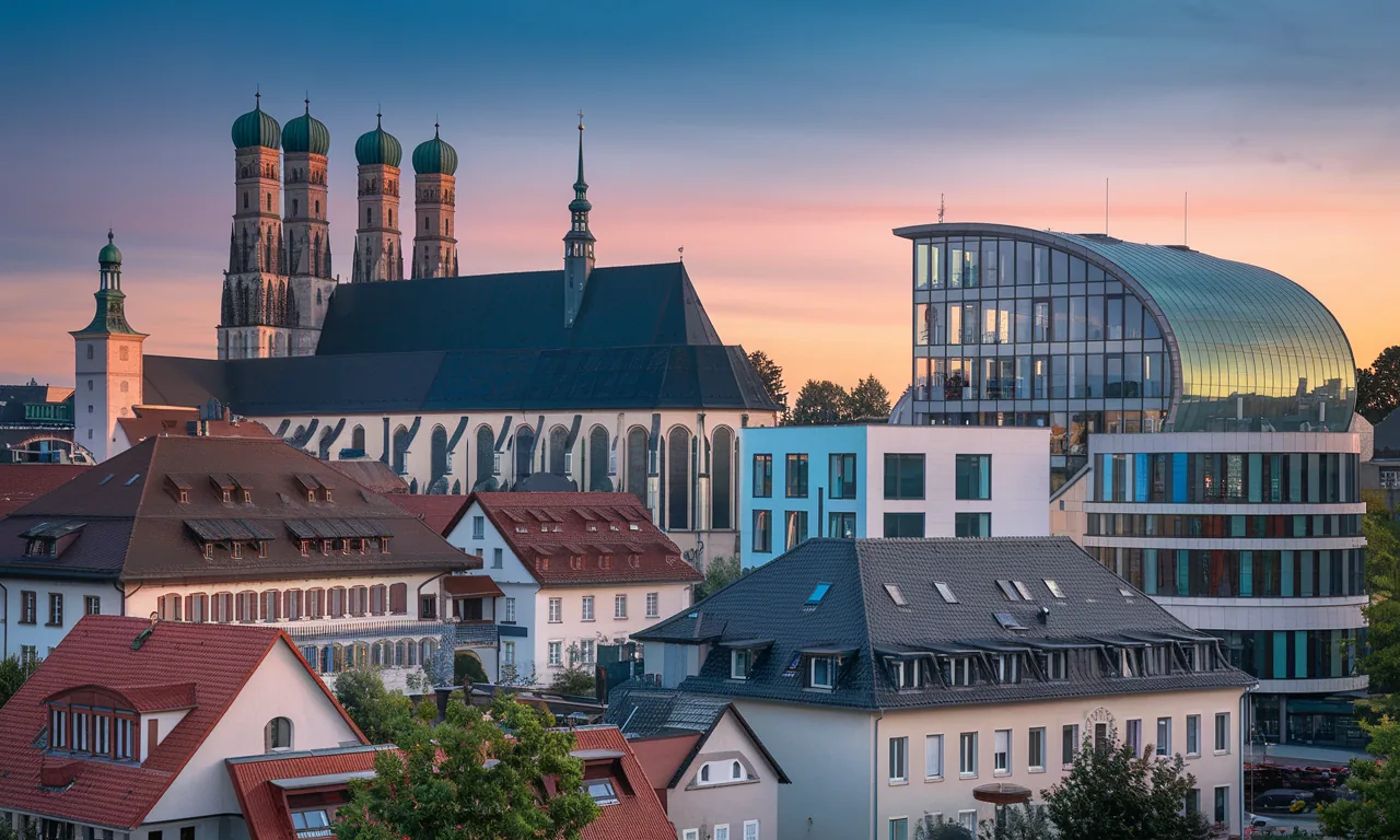
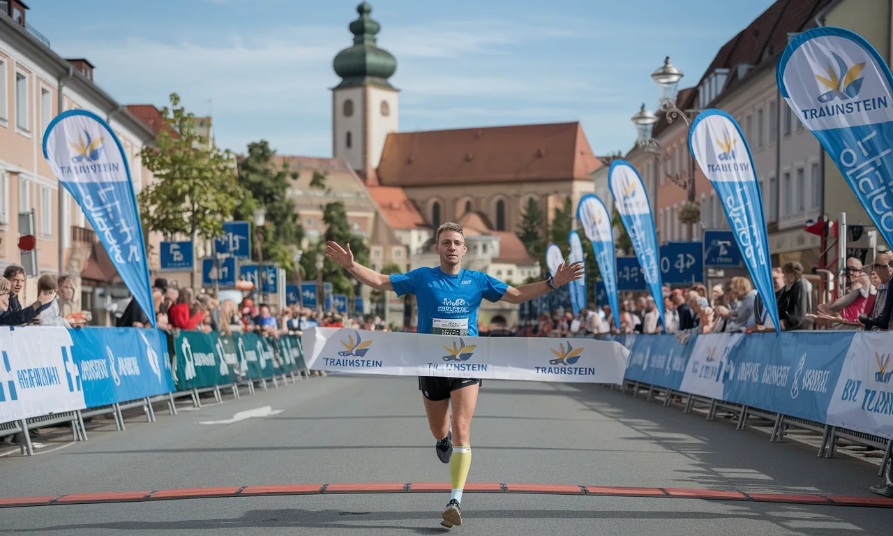
What awaits you in Traunstein when historical images inspire the city of tomorrow? Here you will find a preview of upcoming formats: guided "Then–Now" tours at Maxplatz, curated photo exhibitions, participatory workshops, and digital activities around Jacklturm, St. Oswald's Parish Church, Scheibenstraße, and the railway viaduct.
Introduction: Experience the Future – City History Reimagined
Traunstein relies on images that connect: In the coming months, formats will be planned and implemented that bring old photographs into the present – with guided tours, open studios, and exhibitions. The goal is to read the urban space together: from Maxplatz to Jacklturm to the railway viaduct. Those who participate will experience how historical images provide orientation for the city of tomorrow.
Program Overview: Formats Taking Place Soon
- Guided "Time Leap" Tours: Short city walks with juxtapositions of historical and current views. Stops: Maxplatz, St. Oswald's Parish Church, Scheibenstraße, Bahnhofstraße, railway viaduct.
- Photo Exhibitions in Urban Space: Outdoor displays at selected locations and an accompanying indoor presentation with large-format paired images (Then–Now) and source references.
- Participatory Workshops: Practical sessions on perspective, focal lengths, and image comparison. Participants create their own re-photos and receive feedback on research and metadata.
- Digital Activities: Planned social media challenges and online galleries where local motifs are submitted and curated.
- Lectures & Discussion Rounds: Short talks by historians, archivists, and photography experts on sources, monument preservation, and image ethics.
Coming Soon on the Tours: Locations and Topics
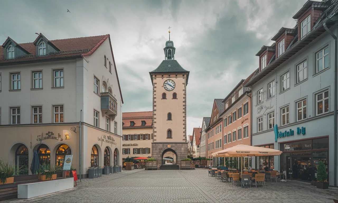
- Maxplatz: Marketplace motifs, facade sequences, sightlines, and changing market traffic.
- Jacklturm: Tower silhouette, sight axes, building conditions, and iconic postcard views.
- St. Oswald's Parish Church: Church square, tower and roof shapes, cityscape-defining perspectives.
- Scheibenstraße and Bahnhofstraße: Everyday photography, mobility transformation from horse-drawn carriage to car.
- Railway Viaduct: Technical icon, city panoramas, and distant views towards the Alps.
The tours combine historical image sources with current comparison shots. Notes on image interpretation – such as exposure, eye level, and cropping of early panoramas – help to classify apparent contradictions (like the missing tower detail in old views).
Participate: How to Prepare for the Upcoming Formats
- Create a motif list: Note places you want to compare (e.g., Maxplatz, Jacklturm, Parish Church, Scheibenstraße, railway viaduct).
- Review sources: Use public portals with historical photos (see sources) and save findings with permalinks.
- Recreate location: For re-photos, pay attention to viewing angle, focal length (approx. 24–28 mm equivalent), vertical alignment, and daylight.
- Document metadata: Year, photographer if known, archive signature, permalink, location, and shooting direction.
- Submission: Upload your comparison images to the digital activities or bring them to workshops.
Accessibility, Safety, and Notes
- Accessibility: Tours consider routes with as few steps as possible and sufficient breaks.
- Safety in public spaces: Take photos from safe positions, pay attention to traffic and private property.
- Rights & sources: Check archive usage conditions; name author, collection, and license.
- Weather precautions: Upcoming outdoor formats depend on the weather; corresponding notes will follow in advance.
Why All This? Expected Impact of Future Image Formats
- More understanding of the city: Image comparisons make development lines visible and promote discourse on building culture.
- Participation: Citizens contribute their own albums and memories – knowledge is expanded collectively.
- Networking: Archives, museums, schools, and associations will work more closely together in the future to make sources accessible.
- Documentation: New re-photos from today will become the historical sources of tomorrow.
Digital Support and Future Publication
The upcoming formats will be digitally supported: with announcements, submission portals for comparison images, and curated online galleries. For participants, guides on source citation, classification, and reuse are planned so that contributions remain findable and usable in the long term.
Sources and Planning Aids
- bavarikon – Search "Traunstein" — Culture portal Bavaria, historical photos/postcards (accessed 2026-01-25)
- Bavarian State Library – Digital Collections — Map and image holdings, online research (accessed 2026-01-25)
- German Digital Library — Meta-search across museums/archives, permalinks (accessed 2026-01-25)
- Archive Portal D — Cross-archive research on holdings (accessed 2026-01-25)
- Monument Atlas Bavaria (BLfD) — Monument data on building and usage history (accessed 2026-01-25)
- German National Library – Catalog: ISBN 978‑3‑95400‑040‑1 ("Zeitsprünge Traunstein") — Bibliographic reference (accessed 2026-01-25)
Note: When using image sources, the respective license and usage conditions of the archives apply.


